
")
Aerial Photography – Projects Videography
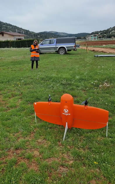
Having a wide variety of UAV (unmanned aerial vehicle) systems (drones), all the required operating licenses as well as the most modern photogrammetric software we cover a wide range of applications such as:
- Aerial photography for the purpose of small-scale surveys for the preparation of topographic diagrams of properties.
- Aerial photography for the purpose of surveying large areas for the preparation of topographic studies, road construction studies and hydraulic projects studies.
- Aerial photography for the documentation of the technical project progress.
- Aerial photography for the survey of listed buildings or their facades in order to prepare an architectural study for their restoration and rehabilitation.
- Aerial photography of areas for the documentation of events or situations for judicial use.
- Aerial photography for the survey of inaccessible places or areas such as quarries, etc.
- Aerial photography to measure the volume of piles of aggregates.
- Aerial photography for the survey and measurement of areas affected by natural phenomena such as floods (heavy rainfall), landslides due to geological phenomena, etc.
- Aerial photography and videography of real estate, hotel units, various sights and archeological sites in order to highlight and promote them.
- Aerial photography and videography for the inspection and control of objects such as photovoltaic parks, high voltage pylons, wind turbines, etc.
- Flight photographs
- True Ortho
- Point Cloud
- DTM
- Design of structures and change of breaklines
- Surface area measurements –Volume measurements
- Digital drawings
- Video - Presentations
Error


Do you have any questions?
Feel free to call us at 22310.32004, or fill out our Contact Form!